Coding workshop — hands-on sessions
Empowering researchers, students, and professionals through innovative education, training, and applied research.
7+
Courses
500+
Students
10+
Years Experience
RSGRT Institute is an international hub for geospatial, environmental, and disaster-related research training. Our mission is to empower students, researchers, and professionals with practical skills in GIS, remote sensing, Python, R, and advanced data analysis — preparing them for real-world problem solving.
Practical training with real-world datasets.
Guidance from leading researchers & professionals.
Connect with learners and experts worldwide.
Upskill for jobs in GIS, Remote Sensing, and more.

Coding workshop — hands-on sessions
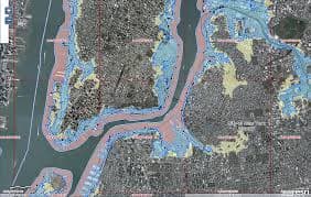
Flood mapping and hazard assessment
R programming for geospatial analysis

Google Earth Engine remote sensing
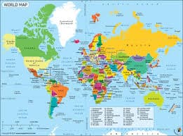
Interactive map visualization
Python for geospatial data
Learn cutting-edge geospatial technologies from industry experts—hands-on, project-focused, and designed for real-world impact.